Ground Penetating Radar Services (GPRS)
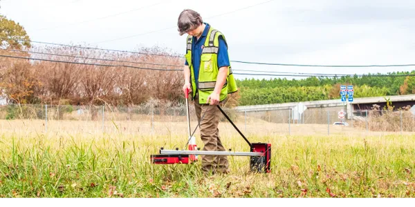
We offer GPR Services (Ground Penetrating Radar) Locate non-metallic pipes, drains, underground storage tanks, septic tanks and field lines, plus more. Contact us for more details. www.alslocating.net
We offer GPR Services (Ground Penetrating Radar) Locate non-metallic pipes, drains, underground storage tanks, septic tanks and field lines, plus more. Contact us for more details. www.alslocating.net
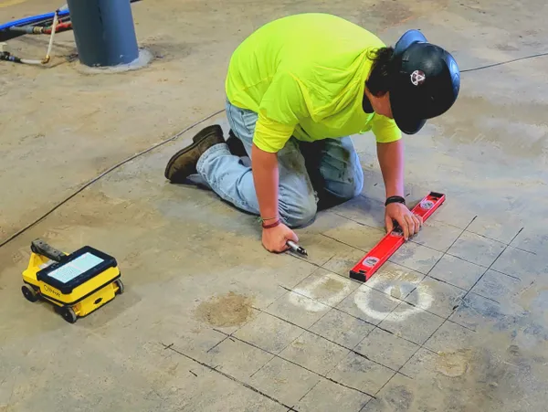
Concrete scanning is a non-destructive testing method used to identify and locate embedded objects within concrete structures before drilling, coring, cutting, or demolition activities. Using advanced technologies such as Ground Penetrating Radar (GPR), technicians can locate reinforcing steel (rebar), post-tension cables, conduits, electrical lines, voids, and other subsurface features.
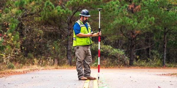
GIS (Geographic Information System) Utility Mapping is the process of collecting, managing, and displaying utility infrastructure data in a digital, geographically referenced format. By combining precise field-located utility information with mapping technology, GIS creates accurate records of underground and above-ground assets such as water, sewer, gas, electric, and telecommunications systems. GIS utility maps provide a centralized platform for visualizing asset locations, tracking infrastructure conditions, supporting maintenance activities, and improving planning for construction and utility management projects. Accurate GIS mapping helps reduce utility conflicts, streamline operations, and support informed decision-making. Applications include utility inventory management, infrastructure planning, asset management, emergency response, and as-built documentation. Deliverables: PDF / KML / Dwg / Shape Files / CAD Options
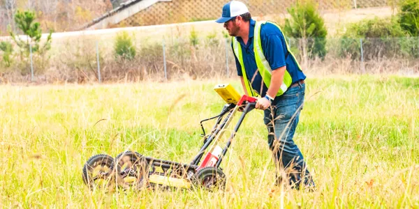
Electromagnetic (EM) Utility Locating is a proven method used to accurately identify and trace the path of buried conductive utilities, including electric, gas, telecommunications, cable TV, and metallic water lines. Using specialized transmitters and receivers, a signal is applied to the utility, allowing technicians to determine its location, direction, and depth from the surface. EM locating plays a critical role in preventing utility strikes, reducing excavation risks, and improving project safety. By accurately marking underground infrastructure before digging begins, contractors and project owners can avoid costly damages, delays, and service interruptions.